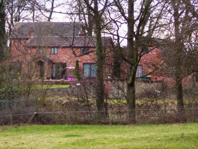
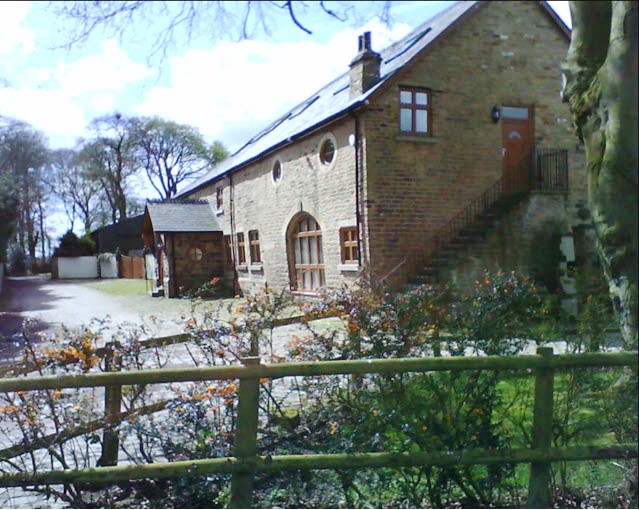
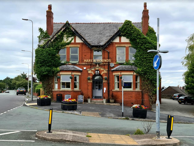
Blackley Hall House
Newton Rd, WN57TD, Billinge
Part of Group:
At Risk: No
Description
Image:- geograph.co.uk
Although in St. Helens Council area, the building has a strong association with the history of Winstanley Hall.
__________________________________________________________________________
I have evidence to show that Blackley Hurst Hall was built prior to 1530 in a detached part of Winstanley in Billinge.
It used to be the home of senior members of the Winstanley family. Thomas Winstanley and his wife Elizabeth (daughter of Sir Gilbert Gerard, Master of the Rolls to Queen Elizabeth I) built Winstanley Hall in 155-61. Thomas and his son Edmund, who inherited Winstanley Hall in 1562, spent most of their lives in Wales, where they earned good money in the woolen industry. In the 1560s Edmund returned to Wales and never again lived in Winstanley Hall, selling it to James Bankes in 1595/6. Thomas' brother, also an Edmund, took care of the hall and served as Steward to the Rector of Wigan. Thomas, as a senior member of the Winstanley family, owned Winstanley Estate.
It is my understanding that Thomas' brother James lived in Blackley Hurst, which probably was the main home of the Winstanleys after the c.13th century moated home was abandoned and before Winstanley Hall was built. I am guessing that Blackley Hurst was built in the 15th century.
Derek Winstanley
___________________________________________________________________________
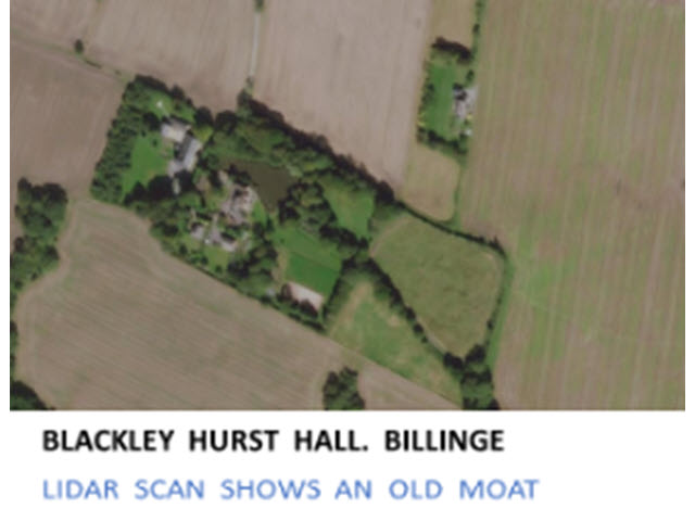
As Blackleyhurst Hall was built prior to 1533, I assume that the moat was also built before this time. Moat houses were typically built from the 12th through the 15th century. Moats provided defence, security and prestige for the owners of the moat house, in this case the Winstanleys.
Note:
Lidar, which stands for Light Detection and Ranging, is a remote sensing method that uses light in the form of a pulsed laser to measure ranges (variable distances) to the Earth. These light pulses—combined with other data recorded by the airborne system — generate precise, three-dimensional information about the shape of the Earth and its surface characteristics.
A lidar instrument principally consists of a laser, a scanner, and a specialized GPS receiver. Airplanes and helicopters are the most commonly used platforms for acquiring lidar data over broad areas. Lidar can penetrate through buildings and vegetation to reveal the underlying surface of the earth including ditches, embankments and streams.
Derek Winstanley

